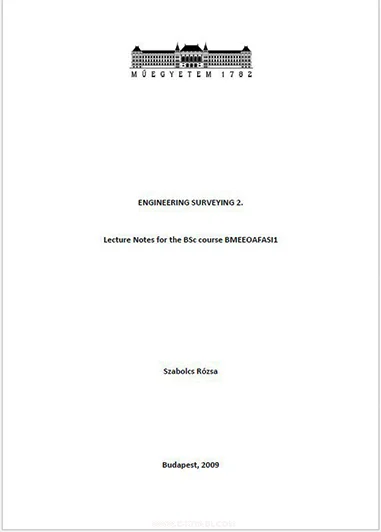
Engineering Surveying is a crucial aspect of the BSc course BMEEOAFASI1, involving the measurement and mapping of our surrounding environment. Through precise measurements and data analysis, engineers can create accurate designs and plans for various projects, from buildings to infrastructure.
Delving Into Surveying Techniques
In this lecture series, students will be introduced to a range of surveying techniques, including the use of GPS technology, total stations, and leveling instruments. These tools are essential for gathering data with accuracy and efficiency, ensuring that engineering projects are carried out successfully.
Analyzing Data and Drawing Conclusions
A key part of Engineering Surveying is the analysis of collected data. Students will learn how to process and interpret surveying data to draw meaningful conclusions. By mastering this skill, students can make informed decisions and recommendations based on their findings.
Practical Applications in Real-world Scenarios
Throughout the course, students will have the opportunity to apply their surveying knowledge to real-world scenarios. From conducting field surveys to creating detailed maps, students will gain hands-on experience that prepares them for future engineering projects.
Embracing the Challenges of Engineering Surveying
While Engineering Surveying can be complex and challenging, it is a rewarding field that offers endless opportunities for growth and innovation. By mastering the concepts covered in this course, students can embark on a successful career in engineering with confidence and expertise.
In conclusion, Engineering Surveying is a vital component of the BSc course BMEEOAFASI1, providing students with the skills and knowledge they need to excel in the field of engineering. By understanding the fundamentals of surveying techniques, data analysis, and practical applications, students can become proficient surveyors ready to tackle any project that comes their way.
About the Book
ENGINEERING SURVEYING 2. Lecture Notes for BSc Course BMEEOAFASI1 Szabolcs R zsa Budapest, 2009 1. Geodetic observations are often required during the construction of engineering structures to ensure accuracy in the construction process.
The purpose of these observations is either to guide the geometry of the construction or to control the geometric quality of the construction. In both cases, the surveyor needs to compare the existing conditions of the constructed structure with the geometric location and dimensions of the structure on the drawing. These observations are made continuously during the construction process.


I herewith intend to get the book for futher.learning and extend my knowledgement
We require to implement engineering design and calculation
I would like to study civil engineering book and Apply engineering design