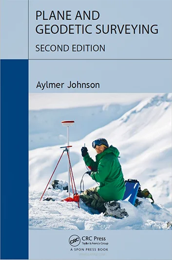
Plane and Geodetic Surveying 2nd Edition- for free

Geodetic surveying is a branch of surveying that deals with areas so extensive that the true shape and dimensions of the earth must be considered. Its primary purpose is not to determine the exact shape of the earth, but to establish a very precise and rigorous control to coordinate all other surveys.
This point is often over looked and the scientific aspect is emphasized to the detriment of the more practical aspects. While it is true that the dimensions of the earth must be known to permit an accurate calculation of position, it is also clear that geodetic triangulation is necessary before this dimension can be determined.
About the Book
Plane and Geodetic Surveying is an ideal book for students of surveying, combining theory and practice, conventional and satellite-based methods. It details how and when to use the major surveying instruments (total stations, levels, and navigation satellite receivers).
Provides a complete and clear explanation of the concepts and formulas necessary to convert surveying instrument measurements into useful and reliable results. The book rigorously explains the theoretical background of surveying, while at the same time providing a wealth of useful advice for actual surveying. The book also includes a least-squares adjustment program, which can be downloaded free of charge.
New in these condedition:
- Reflects the latest developments in satellite navigation, laser scanners, and total stations.
- Provides a more rigorous treatment of how to calculate and use mean earth curvature in geodetic geometry.
- Significantly more information on accurate leveling, spherical geometry, ellipsoid geometry, triangulation, and setting out.
- More detailed coverage of cartographic systems, including the state plane coordinate system.
This book is a must for all students of surveying and for practitioners who need an “independent” text.
DEGLASERS Laser Level 360 Self Leveling, 4×360 Green Cross Line Laser Level
